
Our Sites
We support a stunning range of special landscapes in and around Haslemere that are all owned and managed by the National Trust. Discover some of the diverse beauty of these spectacular sites below.
The National Trust sites we support
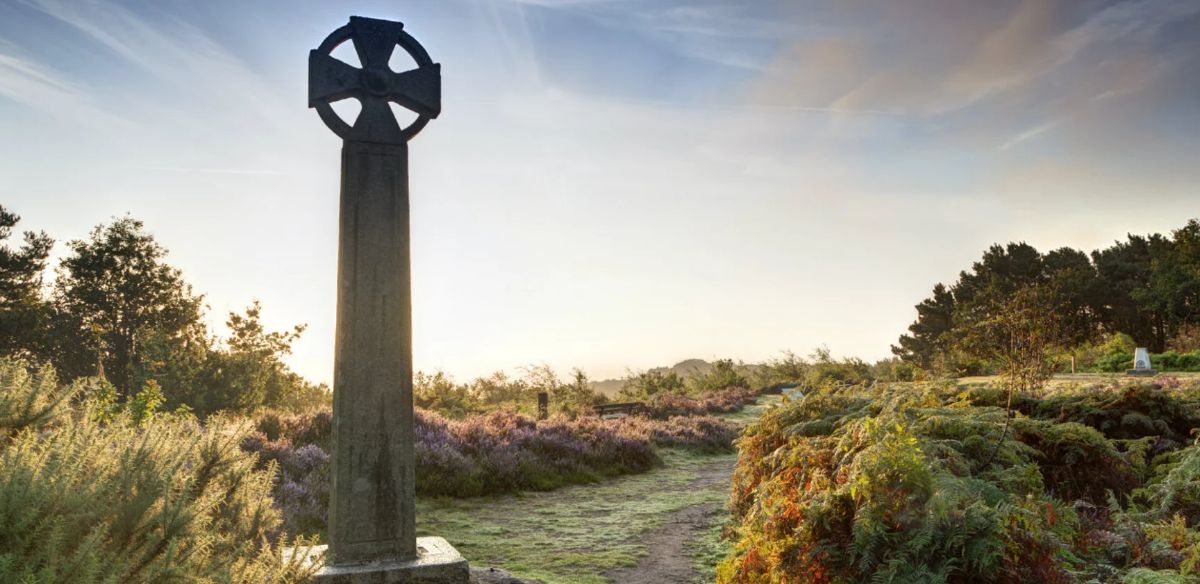
The Devil's Punch Bowl & Hindhead Common
The National Trust properties at Hindhead, principally the Devil’s Punch Bowl and Hindhead Common, were some of the first open spaces acquired by the National Trust in 1906. Unfortunately for many years Hindhead Common was separated from the Punch Bowl by the A3 trunk road. However, since the opening of the A3 Tunnel the two sites have been re-united and now comprise over one thousand acres of some of the most spectacular open space in Britain.
Discover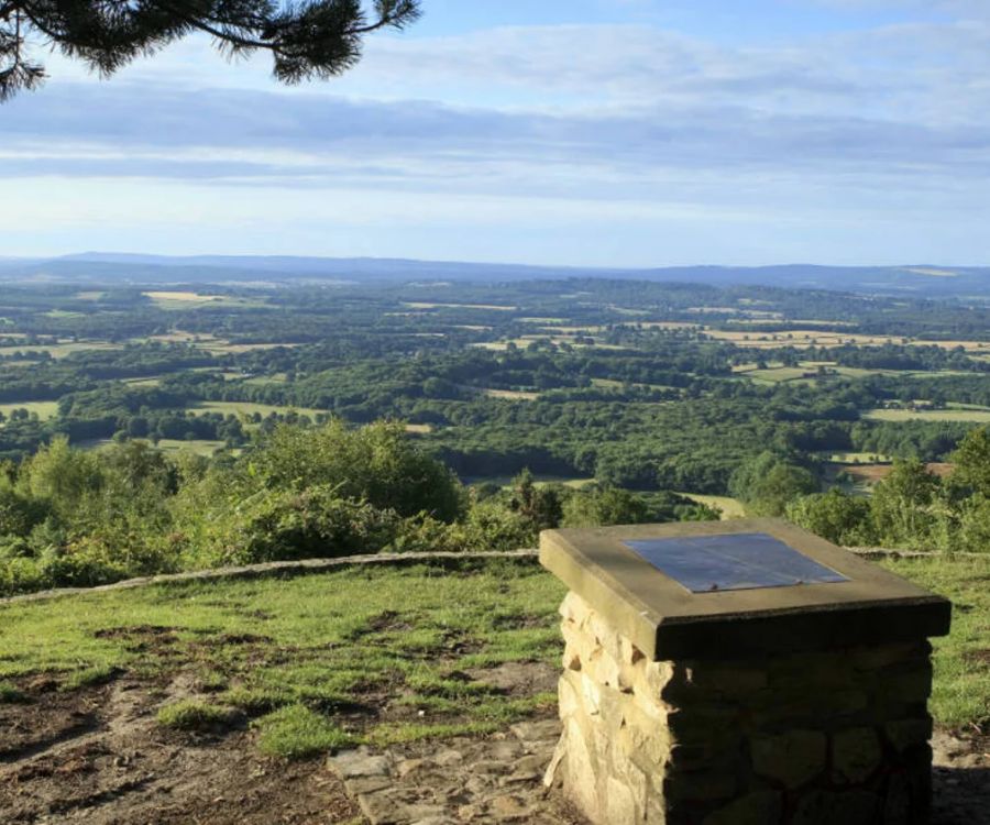
Black Down
Gifted to the National Trust in 1944, at 918 feet, Black Down is the highest point in Sussex and is part of an arc of greensand hills surrounding the Weald of Sussex. At its most southerly point from the Temple of the Winds there are wide views to the North and South Downs, as well as for miles across the Weald. Recent heathland restoration has opened up even more vistas, particularly to the west.
Discover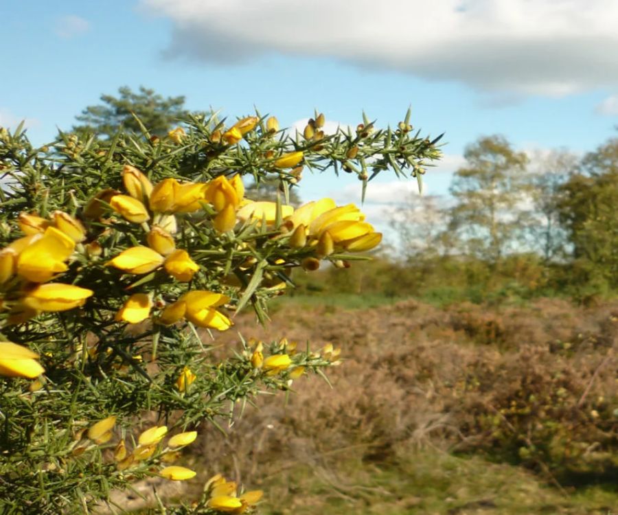
Marley Common
Marley consists of part heathland and part mature woodland. The heathland to the south is on the highest parts of Marley but, almost entirely enclosed by woodland, it is far less exposed than Hindhead Common or Black Down. Like the other commons, as grazing died out, so the landscape became over-run by scrub woodland. However, drastic work to restore the main heathland area in 2007 and 2008, followed by the introduction of a small herd of Belted Galloway cattle to keep the scrub at bay has successfully re-established an open landscape of heather, gorse and bilberry with scattered pine, birch and beech trees.
Discover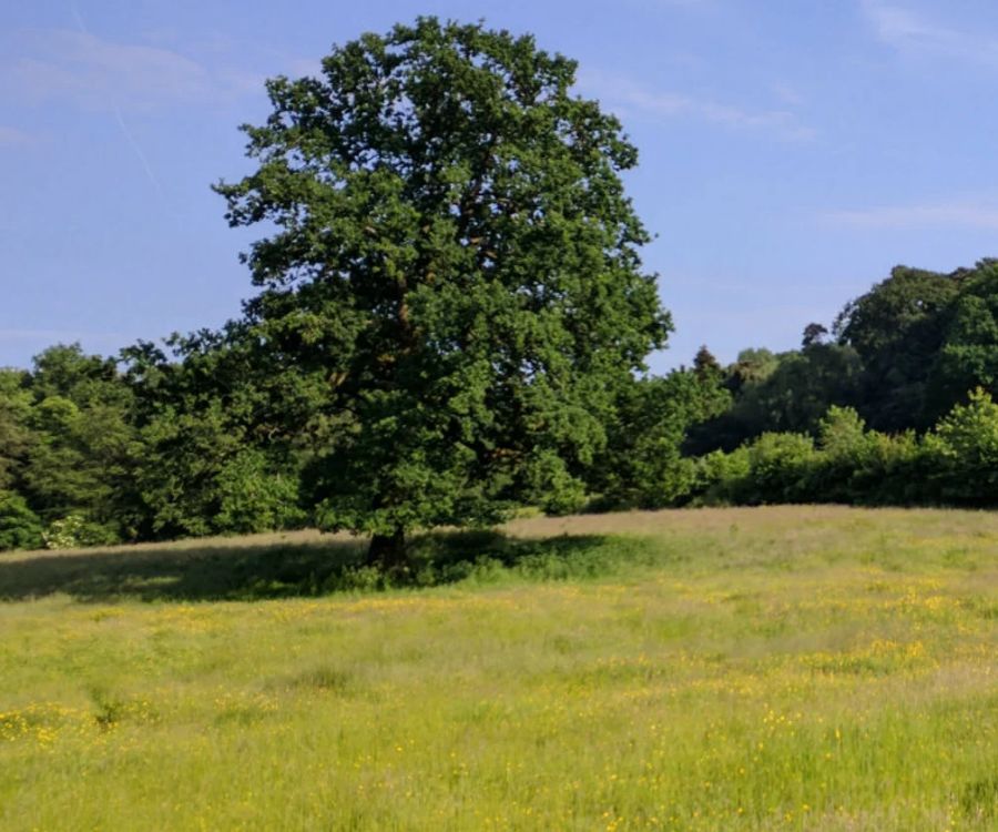
Swan Barn Farm
Swan Barn Farm consists of pasture and ancient woodland along the valley east of Haslemere High Street. The barn-style buildings comprise the Hunter Base Camp, which accommodates long-term volunteers, who assist with the management of Black Down.
Discover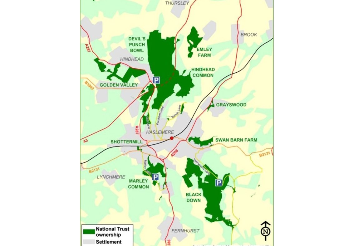
Restoring The Landscape
The National Trust sites on this map are dominated by heathland and woodland. The heathland was established through many centuries of stock grazing on poor, sandy soils which allowed only the hardiest plants to survive. As grazing died out in the 20th Century, huge areas of heathland were lost to development as well as to scrub invasion endangering a number of rare species of ground-nesting birds, reptiles and insects.
In recent years with the help of the Black Down and Hindhead Supporters, the National Trust has been restoring its heathlands and re-introducing grazing stock to help maintain them. Much of the woodland has been managed and coppiced for many centuries to produce timber for construction, charcoal to fuel the local iron foundries and to supply fence posts. However, there is also ancient woodland which has existed as woodland since the 16th century.
Sites that we support are as follows:
Black Down, Hindhead Common, Devil’s Punch Bowl, Polecat, Marley Common, Marley Wood, Marley Heights, Swan Barn Farm, Golden Valley, Woodcock Bottom, Whitmore Vale, Whitmore Park and Windy Gap, Grayswood Common and Pond, Shottermill Ponds and Fields, Kingsley Green, Craig’s Wood and Tyndall’s Wood, Valewood and Valewood Park, Roundhurst Common, Stoatley Green, Weydown Common, The Quell and Quellwood Common, Nutcombe Valley, Emley Farm.